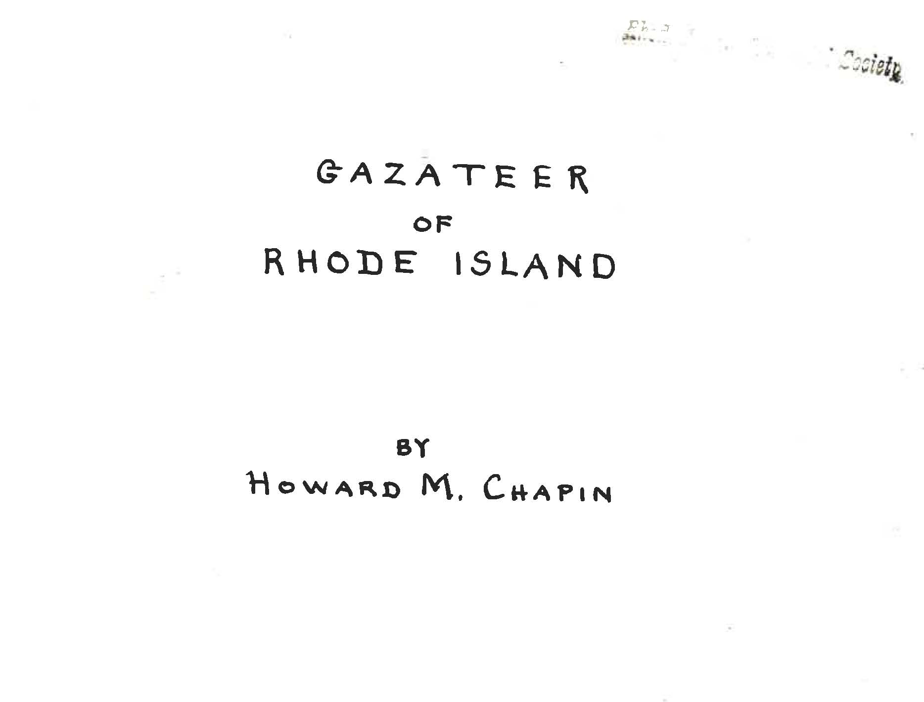
 Howard Chapin’s 1931 Gazateer of Rhode Island may not be a thing of beauty, but its five hundred and one pages are crammed with descriptions of villages, ponds, hills, coves and brooks that most native Rhode Islander’s have never heard of.
So what is a gazetteer? It’s a dictionary of place names, often accompanied by a map and basic facts and figures about the area in question. Gazetteers are known to have existed in ancient Greece as well as in second century China. Some, such as the Illustrated Gazetteer of the Four Counties of Shaanxi, created circa 1368 CE-1644 CE, and the 1948 Illustrated Gazetteer of the World,
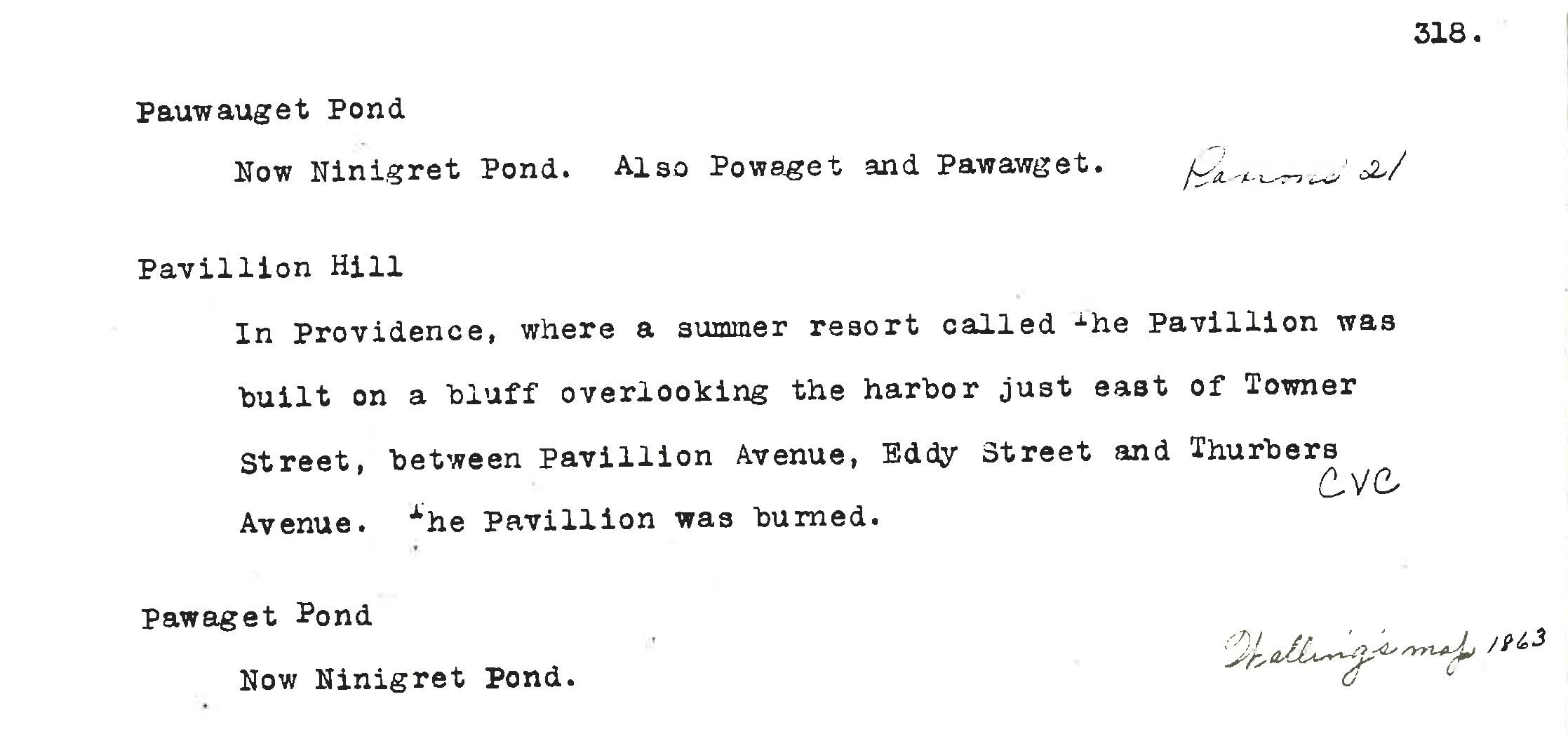
The Chapin gazetteer is a five hundred and one page typescript with handwritten dates, map references and other notes added by the author. Housed in a plain blue library binding, it measures three inches thick and requires two hands to pick up. The book is shelved right beside my desk with other volumes frequently referred to by staff and I could easily spend my days browsing the hundreds of entries and learn something new from every page. Until this moment, for example, I had no idea that Block Island was originally called the Isle of Louise by Verrazano, or that the shore north of Heifer Point on Great Island was known as Old Cow. You might be familiar with Jerimoth Hill in Foster, the highest point in Rhode Island at a heady 812 feet, but how about Pavillion Hill, “where a summer resort called the Pavillion was built on a bluff overlooking the harbor” near Eddy Street and Thurbers Avenue in Providence?
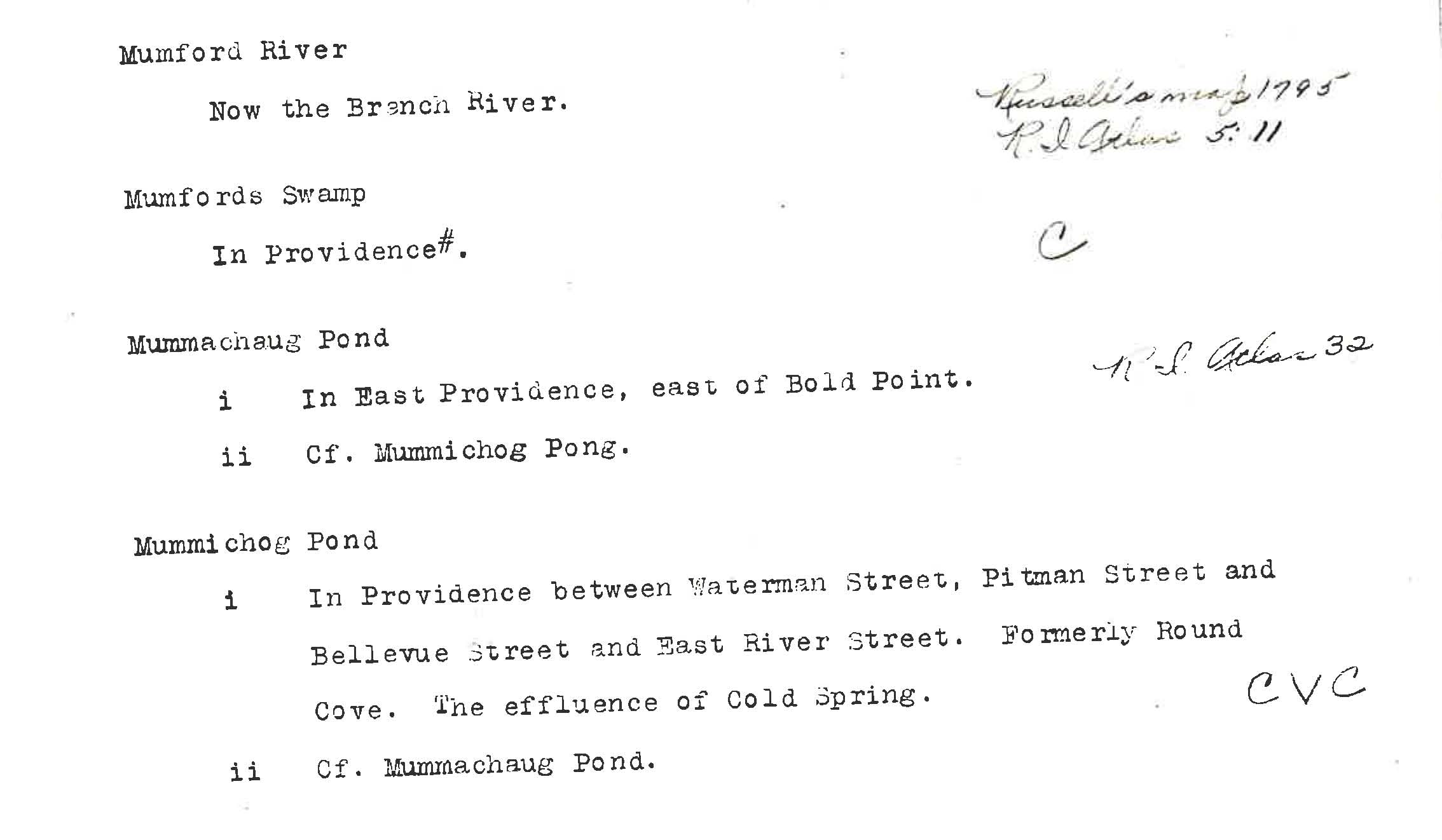
 There was once a body of water, Round Cove, later known as Mummichog Pond, between Waterman and Pitman Streets, whose source was Cold Spring. Chapin says the spring came out under the roots of an oak tree “quite near to Pitman St., about opposite the Chace Engine Works. And where was the Chace Engine Works, aka Chase Motor Company? At 201 Pitman, the corner of Butler Avenue, now the Salvation Army Thrift Store where, in true Rhode Island parlance, the Colored Worsted Mill used to be.

~ Lee Teverow
