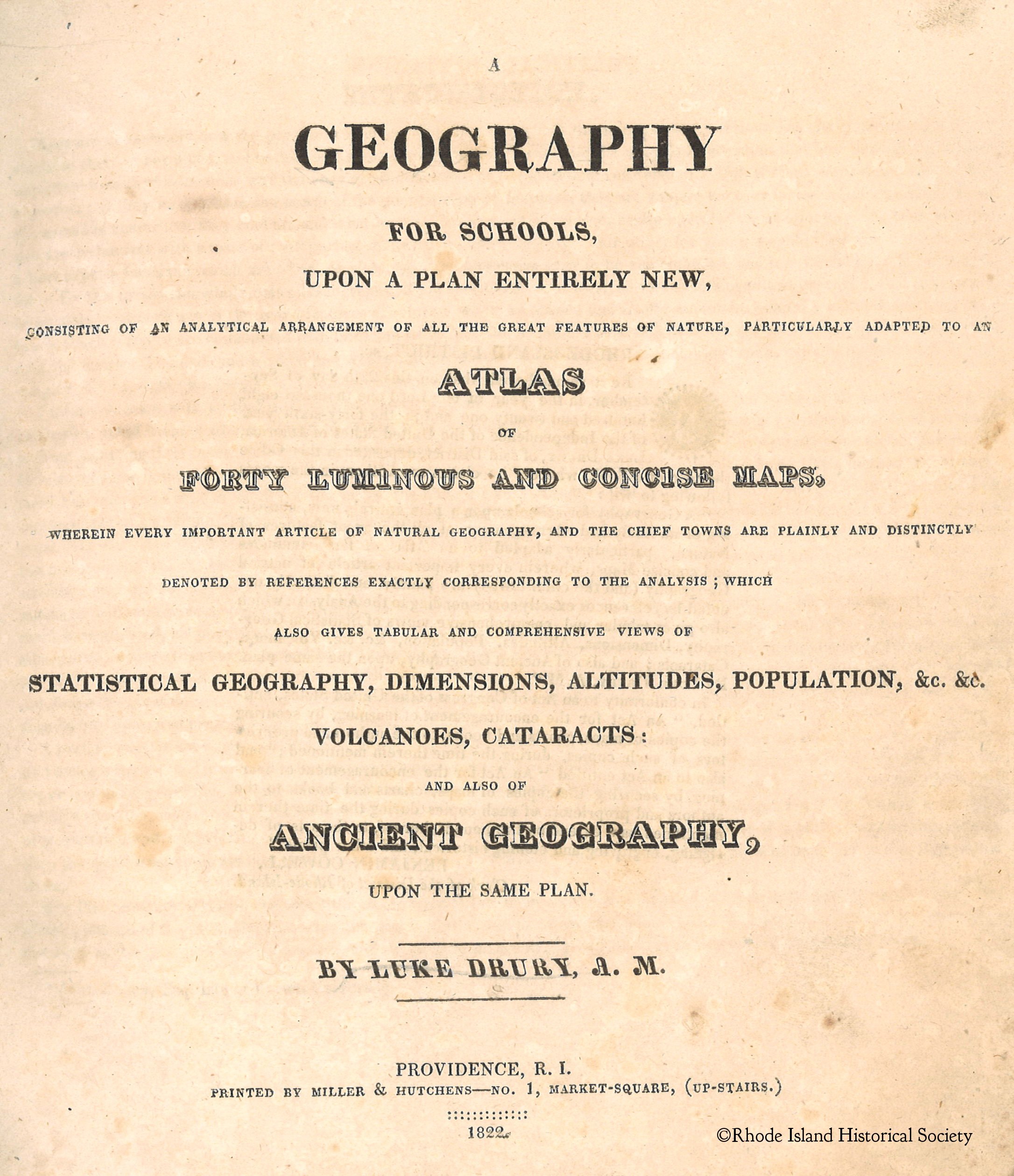
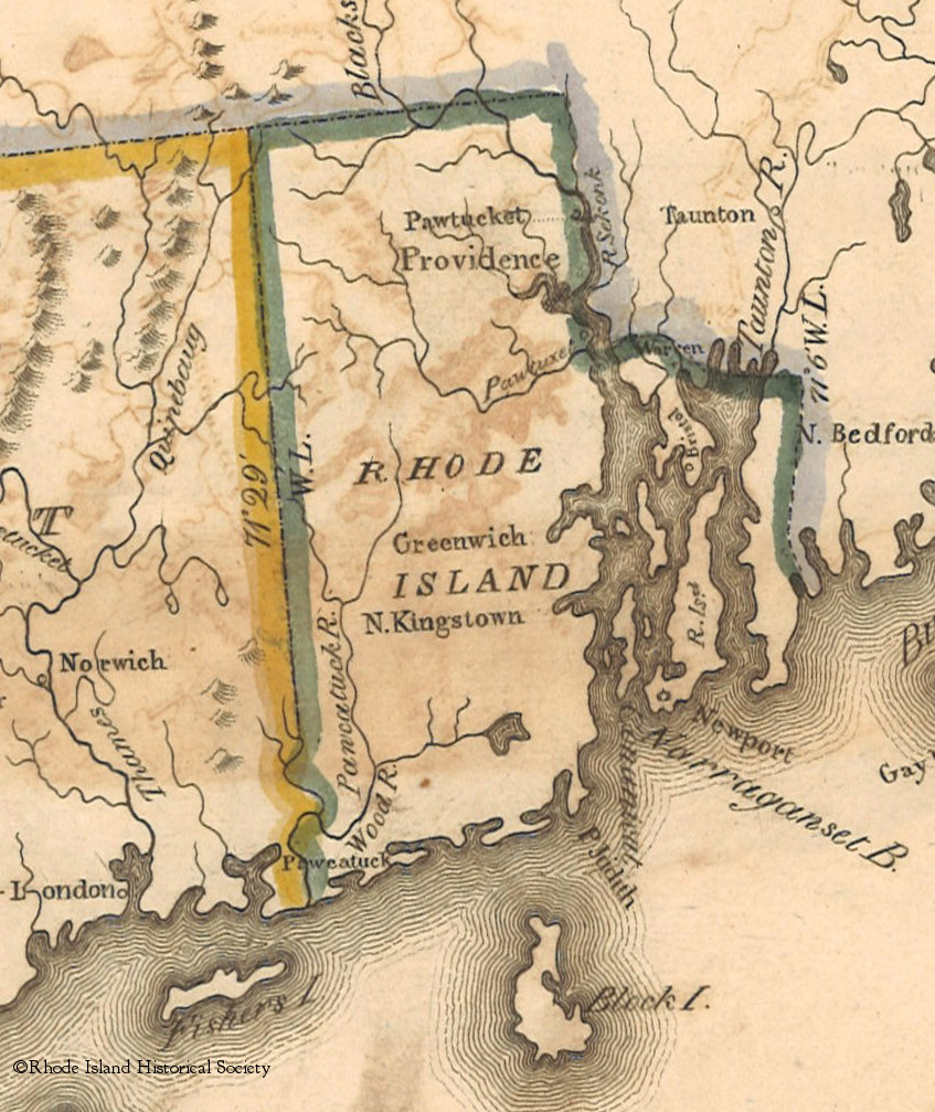
What makes a world view? In 1822 a geography book for schools was printed in Providence by Miller & Hutchens at No. 1, Market square, (upstairs). This would have provided many Rhode Island children with a first impression of what the lands outside their own town looked like.
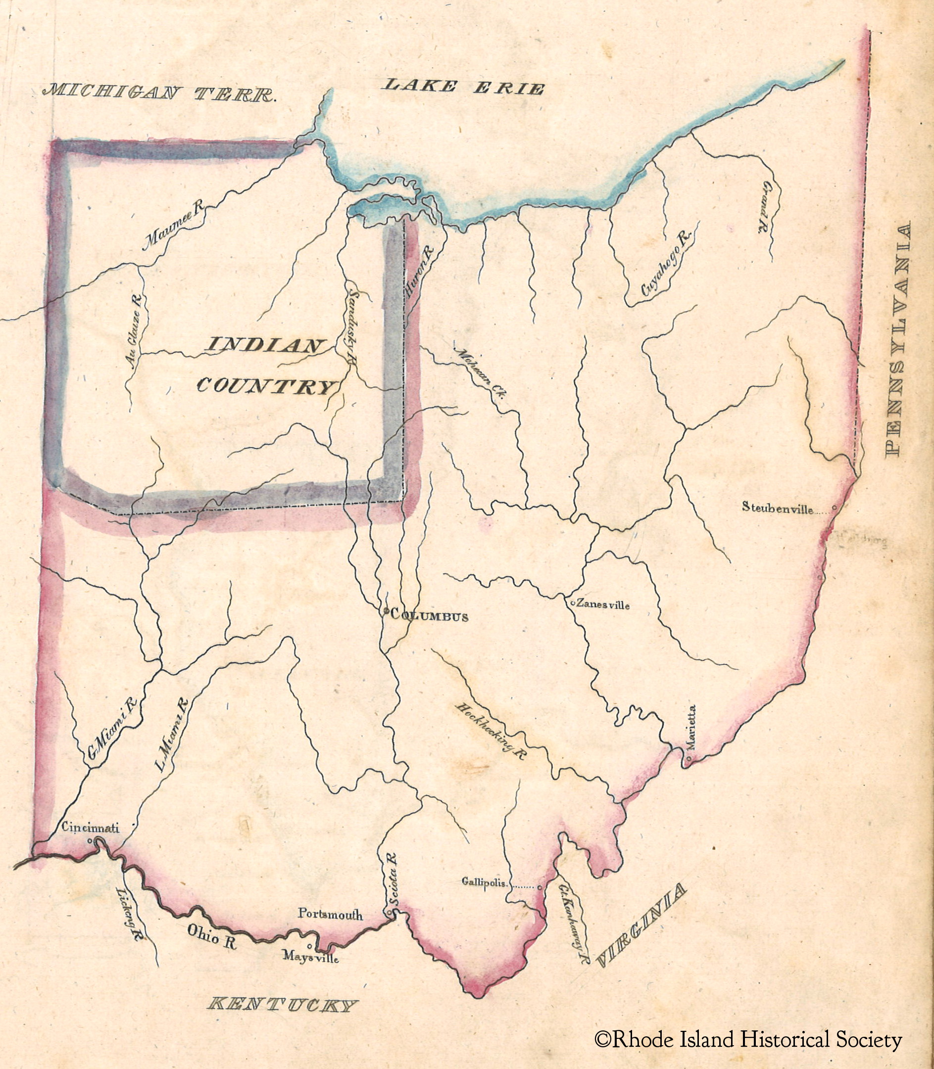
Maps have a magical way of transforming a point in time into visual information that we can compare to our current knowledge of the world. The maps in this book are delicately colored and show the political state of North America in 1822:
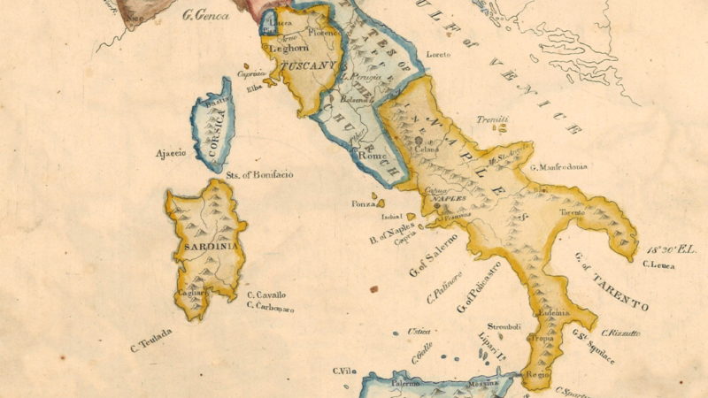
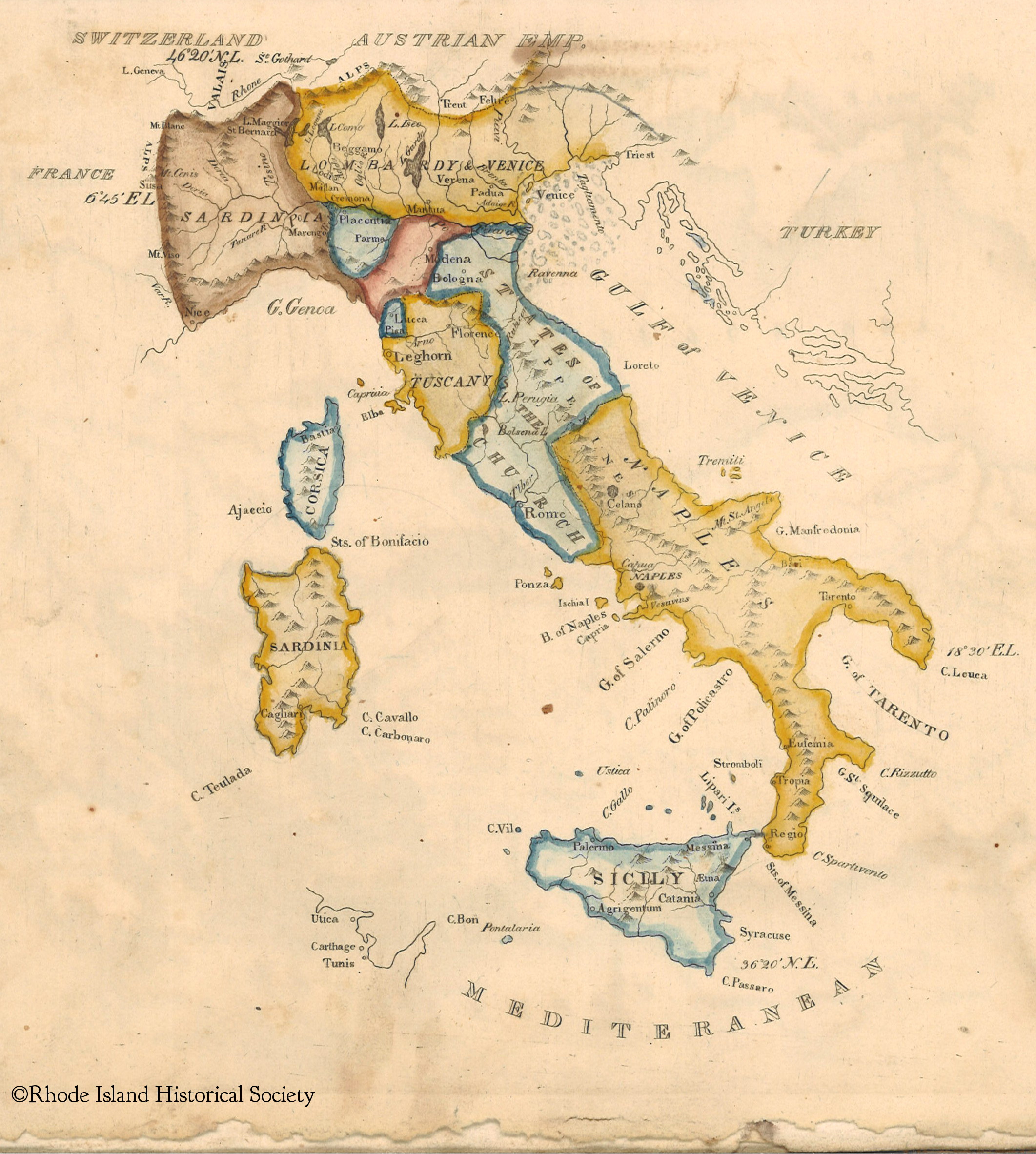
And the of early 19th-Century city states of modern day Italy:
Researchers travel to our library from around the world and all over the United States to use RIHS collections. Not only to research the lives of Rhode Islanders while they lived here, but also for their far reaching travels. Be it the Logbook Collection, MSS 828, which documents sea voyages to every corner of the world or the Edward Carrington Collection, MSS 333, which holds all of his incoming and outgoing correspondence for his trade with Canton, China. All coming back to our own corner of the world.
~Phoebe Bean, Librarian